


Description
Geography
Cultural
aspects
Activities
allowed
Existing
facilities
Documents and
recommendations
How to get?
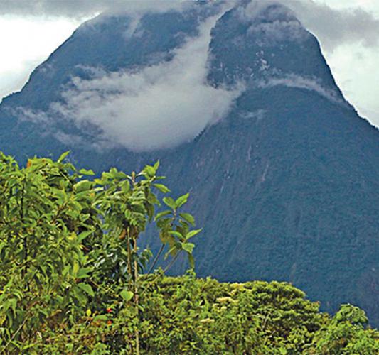
This reserve located in the southeast of the country, in the province of Morona Santiago. Two high points in the landscape here, Siete Iglesias and Pan de Azúcar ('Seven Churches' and 'Sugarloaf'), belong to the municipality of San Juan Bosco Canton are also protected by the Ministry of Environment. Because of this, it was the first area to be bestowed with the category of Municipal Conservation Area that integrates the National System of Protected Areas of the State. The area protects a strip of cloud forests located about 1,100 meters; besides protecting biodiverse ecosystems there are several important rivers that begin here that are essential for water supply to cities and towns surrounding the protected area, especially the village of San Juan Bosco.

From Quito, Guayaquil and other cities: Head to the city of Cuenca and Macas, from which several road can take you to reach Juan Bosco.
From Cuenca: Take the Plan Milagro - Limón Indanza - San Juan Bosco road. The road you want begins at the entrance to Gualaceo. After 30 km, take the road to Plan de Milagro (under construction) and continue for another 70 kilometers to the Troncal Amazónica, south of the village of San Juan Bosco. Follow this for 15 kilometers until you get to the town of San Juan Bosco.
From Macas. Take the Troncal Amazónica south through the towns of Sucúa, Huambi, Logrono, Mendez and Lemon Indanza, to reach the town of San Juan Bosco. It's about a 160 kilometer drive on good road.
Municipality of San Juan Bosco / Environmental Management.
Municipal building. Second floor. Av. June 30. San Juan Bosco. Morona Santiago province.
(07) 270-7003

The Conservación Municipal Siete Iglesias is part of the great Santiago river water system, and the basin of the Zamora River. Some of its tributaries, which are within this protected area include El Triunfo, El Aguacate, Pan de Azúcar, and Gualaceño. Topographically, much of the terrestrial reserve is made up of cliffs and steep slopes, much of which slope at greater than 50 degrees. Because of this, the only activities undertaken here are ecological protection and the conservation of natural springs.

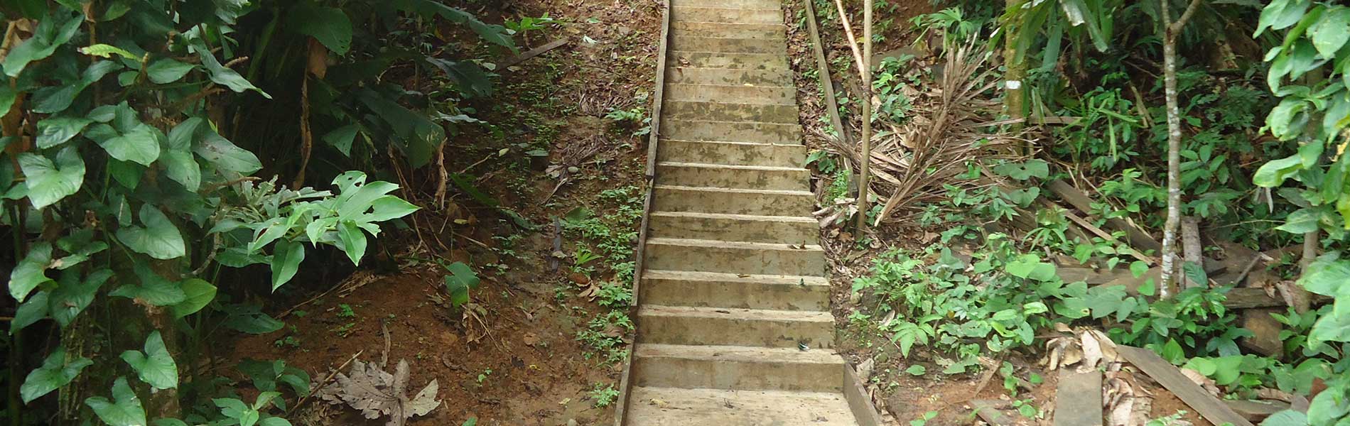
The protected area was recently established and is in the process of consolidation. Currently you can reach the following paths:
Piedmont path: located in the Pan de Azúcar parish and leads to the waterfalls of Santa Clara. The tour is a 7 kilometer round trip.
The path up to hill Pan de Azúcar requires a specialized guide in the area. Ensure you're fit if you intend to try this trail.

Attractive cultural, biodiversity
The region where the protected area is located has been ancestrally inhabited by indigenous Shuar. However, there is currently no human occupation in the area. Most of the surrounding population comprises farmers who migrated from the Sierra in the mid-twentieth century; it is they who gave the name to Pan de Azúcar (Sugarloaf Mountain),a nod to a type of bread made in Zaruma.
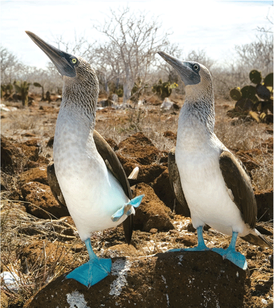
The tops of the hills Conservación Municipal Siete Iglesias and Sugarloaf predominantly moorland, while the foothills are home to the cloud forests. In the moorland there is scrub, valerian, chiquiragua shrub and groves of trees and other native species, while in the cloud forest trees are as pumamaquis (literally 'puma's hands'), palms and lots of orchids, ferns and bromeliads. The most spectacular fauna of the area are the spectacled bear, the mountain tapir and the 'cock of the crag'. The main attraction of the area is the Pan de Azúcar; It is accessible by a path with a guide. During the ascent you'll go through the cloud forest. You can also visit the waterfalls of Santa Clara and the forest that surrounds them.